Geomatics (GM)
Email: maria.cuevas@cttc.catPhone: +34 93 645 29 00
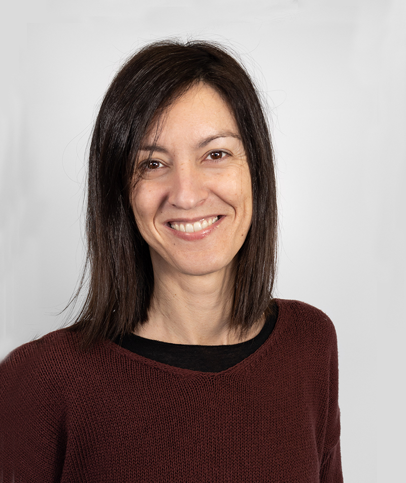
María Cuevas González holds a B.Sc. in Environmental Science from the Universidad Europea de Madrid (2000) and a Master of Advanced Studies in Geography from the Universidad de Alcalá (2007). She carried out research on the study of post-fire dynamics by means of remote sensing at the Universidad de Alcalá (Spain) and the Centre for Ecology and Hydrology (CEH, UK) from 2004-2008. She has expertise in vegetation, land cover and fire scar mapping using passive optical remote sensing. She worked as a research associate (2010-2013) at the Institute of Geomatics where she was involved in the processing and analysis of Synthetic Aperture Radar (SAR) data for the study of terrain deformations. She was a GIS consultant for the United Nations from 2014-2018 where she was involved in the feature extraction, harmonization and carto-production phases for mapping purposes. She is currently employed as a researcher at the Remote Sensing Department of the Geomatics Division of CTTC.
Her main research activity focuses on processing and analysing spaceborne remote sensing data applied to several scientific and technical applications using active and passive sensors. She is involved in most of the fundamental research areas of the Remote Sensing Department of CTTC, which are part of the strategic plan of the CTTC. Specifically, she leads the classification line of research and is actively contributing to the DInSAR/PSI research line processing and analysing SAR data for terrain deformation measurement and monitoring. Besides, she is assisting to the Ground-Based SAR (GBSAR) and ground-based Real-Aperture-Radar (RAR) areas of research.
María Cuevas-González has been involved in several international, national and industrial projects both in the proposal preparation and in the project execution stages. She has contributed to more than 25 project proposals and has participated in eight European projects: Aphorism, PanGeo and SubCoast (7th Framework Programs of the EU); GIMS and MOMIT (H2020); Safety (ECHO); Pocrisc (Interreg/Poctefa); and TERRAFIRMA (ESA). She has also participated in five national projects funded by different ministries (DEMOS, MIDES, EGEA, XLIDE and LIRA) and several industrial projects (HAZI,CUPRUM, Atacama, Ferrocarrils, Glòries, Barberà and SPEA-Satellite).
She is a regular author in peer-reviewed journals. In fact, she has published more than 40 scientific papers, 20 of which in international indexed journals. My publications can be accessed on Google Scholar (more than 1100 citations and an h-index of 14). She has participated in more than 20 international and national conferences and she is involved in the organization of the GBSAR course held by the Remote Sensing Unit of the CTTC. Finally, she supervises and trains PhD and Master Degree students as well as researchers joining the Remote Sensing Department of the CTTC.
MISCELLANEOUS
| Scientific Journal papers | 20 journal papers. |
| Citations | 1122 citations / h-index=14 (Google Scholar). |
| Project proposal | Contribution to more than 25 project proposals. |
| Project coordination | 2 EU projects (CTTC work package coordination) and 4 industrial projects (CTTC technical coordination of 3 projects and project coordination of the other). |
| Granted projects | 1 industrial project granted. |
| Project participation at CTTC | 20: 8 international, 5 national and 7 industrial. |
| PhD and final master thesis | 1 Phd co-supervisions: ongoing. 1 Master theses, and more than 10 stages supervision (students and researchers). |
| Contribution to Conferences | More than 30 contributions to conferences. |
| Courses and workshops organization | She regularly organizes the GBSAR course held by the Remote Sensing Department of the CTTC. |
